


2,157
社区成员
 发帖
发帖 与我相关
与我相关 我的任务
我的任务
 分享
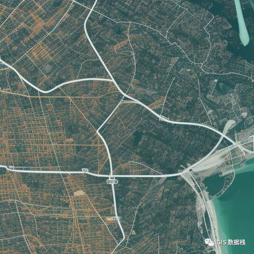
分享想尝试一下用英文写作,有语法上、单词拼写错误,还望大家能够指出,Thanks♪(・ω・)ノ!
A good use case for using a Python script that queries the metadata of imagery using GDAL would be to automate the process of extracting and documenting information from a large number of images in a directory or dataset. This could be useful for applications such as remote sensing or geospatial analysis, where it is often necessary to document the details of the image data.
For example, if you have a directory containing hundreds of satellite images and you need to document the acquisition dates, type of sensor used, and the source of the images, you could use the Python script to extract this information from each image file and store it in a spreadsheet or database. This would save a significant amount of time compared to manually opening each image and recording the information.
Additionally, the script could be customized to extract other types of metadata depending on the specific needs of the user. For instance, it could be modified to extract the spatial reference system (SRS), band information, or other image properties. This makes the script a versatile tool for anyone working with image data in the geospatial domain.
To query the metadata of imagery using GDAL in Python, you can use the following steps:
Import the necessary modules:
from osgeo import gdal
import osr
Open the image file using gdal.Open() function:
dataset = gdal.Open("path/to/image")
Get the metadata of the image using dataset.GetMetadata() function:
metadata = dataset.GetMetadata()
Access specific metadata information, such as the image creation date, type, and source, using the relevant metadata keys. Here are some commonly used metadata keys:
Here’s an example code snippet that retrieves the creation date, type, and source of an image:
# import necessary modules
from osgeo import gdal
import osr
# open the image file
dataset = gdal.Open("path/to/image")
# get the metadata of the image
metadata = dataset.GetMetadata()
# retrieve creation date, type, and source from the metadata
date = metadata["TIFFTAG_DATETIME"]
source = metadata["TIFFTAG_IMAGEDESCRIPTION"]
software = metadata["TIFFTAG_SOFTWARE"]
# print the results
print("Image creation date:", date)
print("Image source:", source)
print("Image creation software:", software)
Note that the metadata keys and their values may differ depending on the image format and the software used to create it.

